Waymark
Mapping with WordPress Made Easy
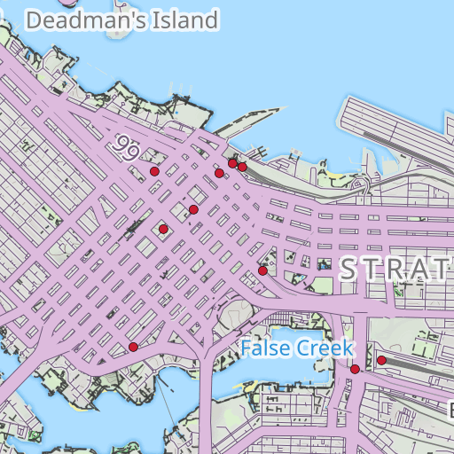
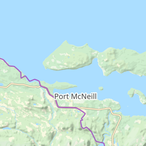
Add Overlays (Markers, Lines and Shapes) to Basemaps of your choice. Anything added to the Map can be given a title, description and an image.
Import Tracks and Photos
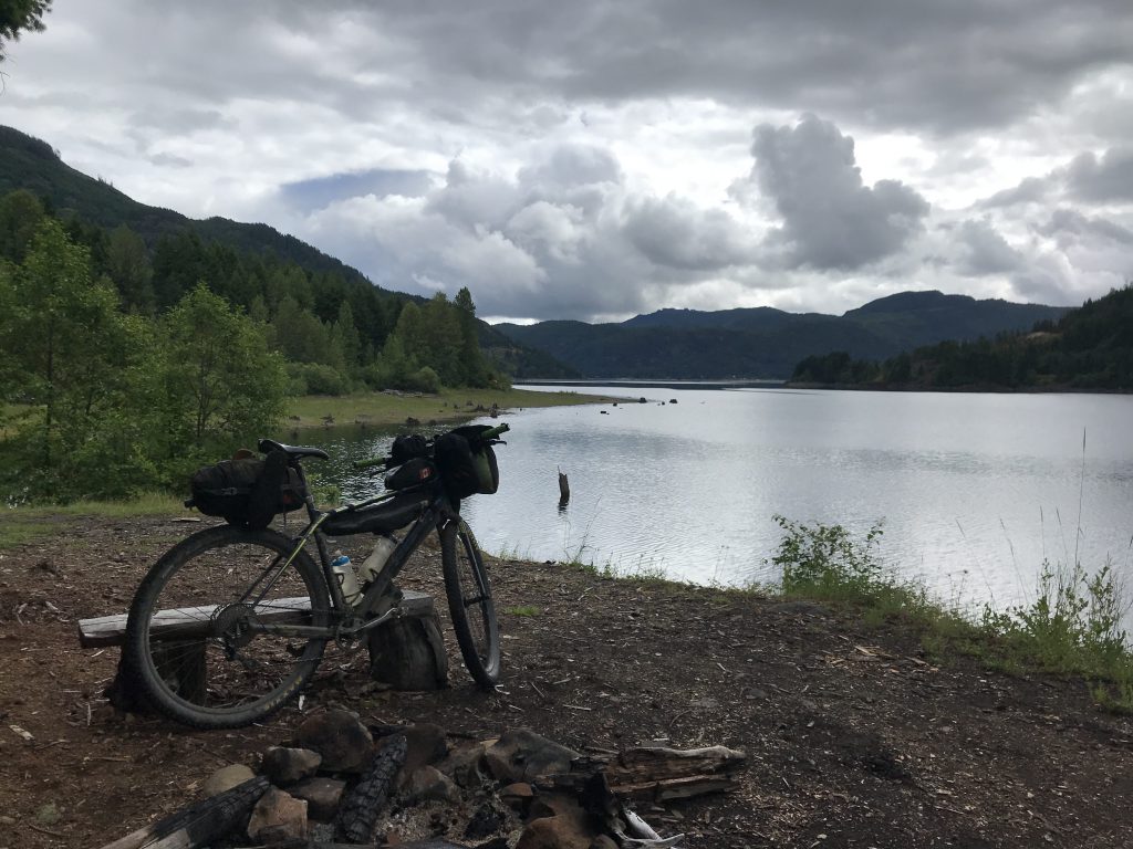
Photos with location data will be add to the Map where they were taken.
Waymark can read Markers and Lines from common file formats (GPX/KML/GeoJSON).
Each item on the Map can be given a title, description and an image which will be displayed once clicked.
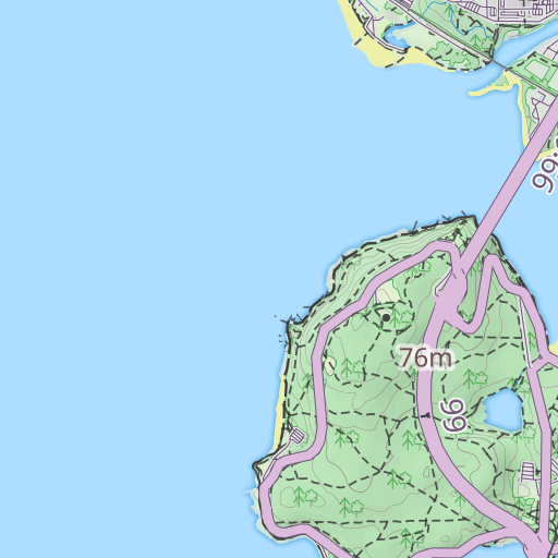
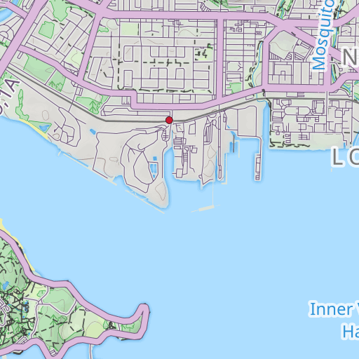
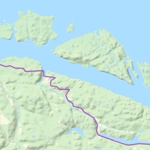
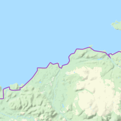
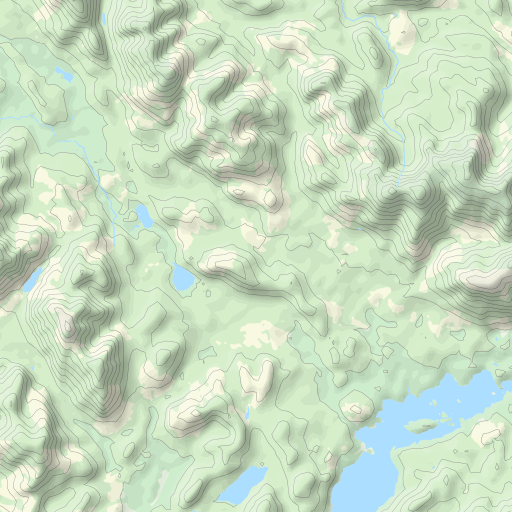
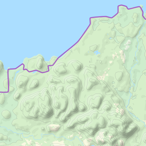
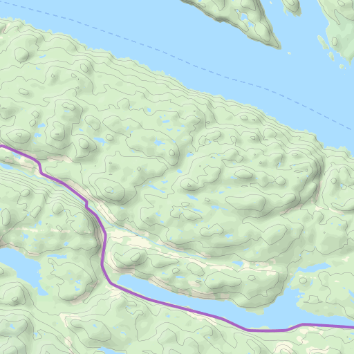
Route Map


Docs
Learn how to use Waymark by delving into the documentation.