Skip to content Skip to main navigation Skip to footer

Route Map

This is a Map created with Waymark. A Map can have Meta associated with it, which can be displayed here.

Using the Editor you can add Markers, Lines and Shapes to the Map. Each can be given a title, description and an image which will be displayed once clicked.

The Editor can import from GPX, KML and GeoJSON formats and can detect photo location information.

Maps can be embedded in your content using the Shortcode. Grouping Maps together using Collections allows you to display multiple Maps at once.

Collection
?
Export
About
Journal Entry

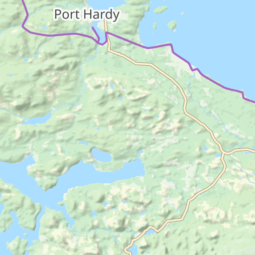
This is a journal entry. Lorem ipsum dolor sit amet, consectetur adipiscing elit, sed do eiusmod tempor incididunt ut labore et dolore magna aliqua. Ut enim ad minim veniam, quis nostrud exercitation ullamco.

Details
Date
20/12/1879
Distance (km)
89
More Details

The information displayed here can be configured in Waymark > Settings > Meta.