Skip to content Skip to main navigation Skip to footer

Meta

Using Meta, you can provide extra information about each Map.

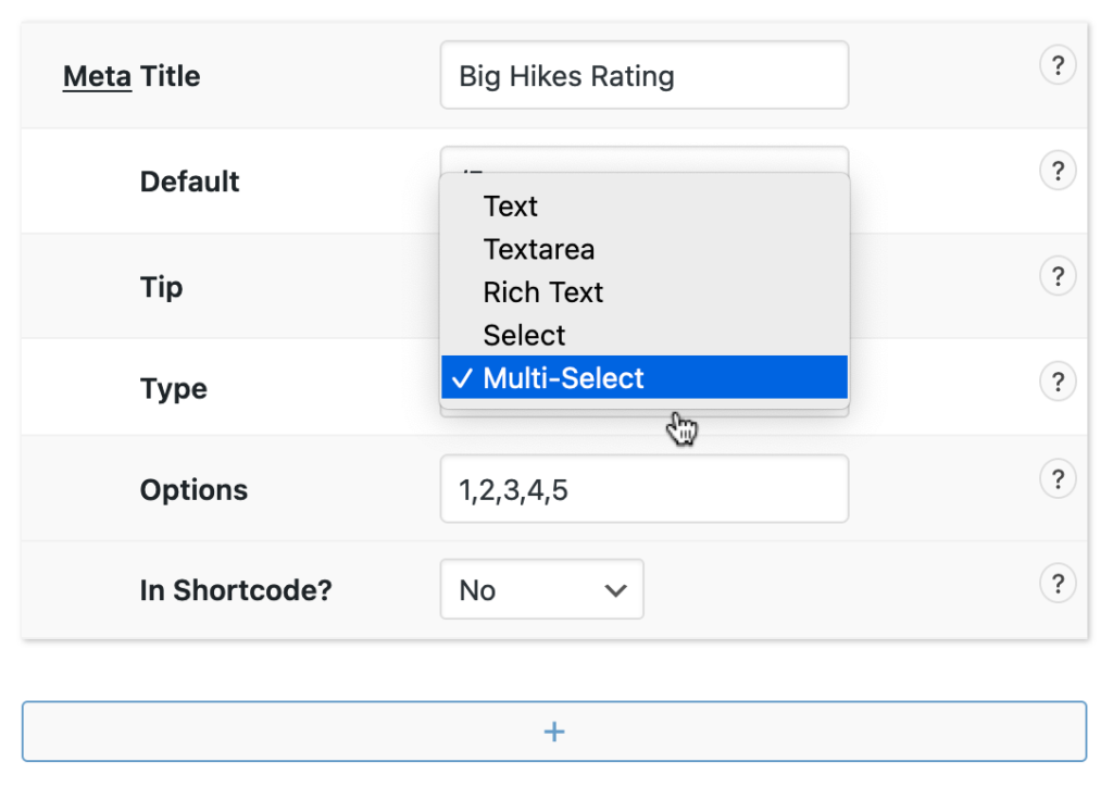
Create additional input fields that appear underneath the Map Editor. Any Meta that has been input is displayed on the Map Details page, and can also be displayed by the Shortcode.


Creating Meta Inputs

A Description text area is displayed as default and additional inputs can be created in Waymark > Settings > Meta.

You can also create Groups to organise your Map Meta. Meta in the same group will be displayed together when editing and viewing Maps.

Pro Tip! Meta is stored as WordPress custom fields.


Example

Click “Details” to see the Meta input for this Map:

Details
Route Map

This is a Map created with Waymark. A Map can have Meta associated with it, which can be displayed here.

Using the Editor you can add Markers, Lines and Shapes to the Map. Each can be given a title, description and an image which will be displayed once clicked.

The Editor can import from GPX, KML and GeoJSON formats and can detect photo location information.

Maps can be embedded in your content using the Shortcode. Grouping Maps together using Collections allows you to display multiple Maps at once.

Collection
?
Export
About
Journal Entry

This is a journal entry. Lorem ipsum dolor sit amet, consectetur adipiscing elit, sed do eiusmod tempor incididunt ut labore et dolore magna aliqua. Ut enim ad minim veniam, quis nostrud exercitation ullamco.

Details
Date
20/12/1879
Distance (km)
89
More Details

The information displayed here can be configured in Waymark > Settings > Meta.

More Details