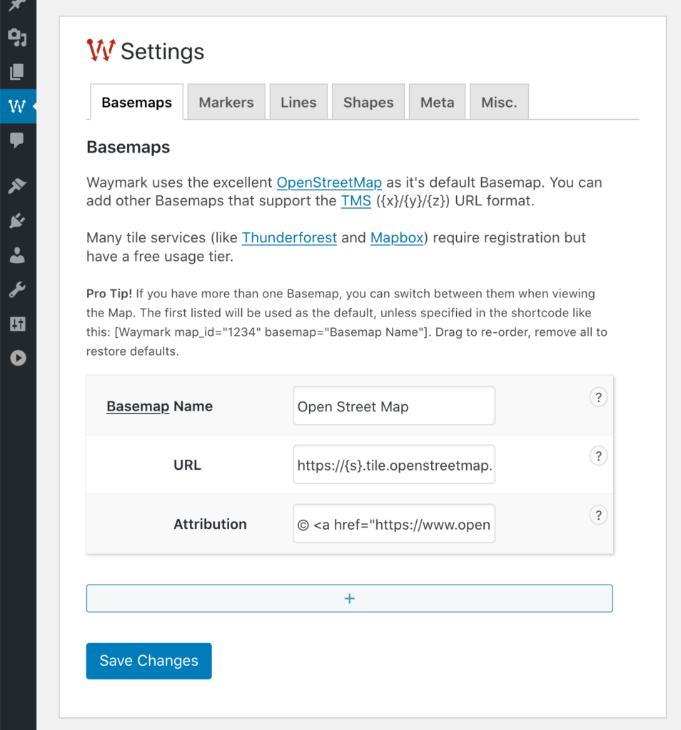
Basemaps
Use third-party Basemaps as your Map background.
Waymark uses the excellent OpenStreetMap as it’s default Basemap and allows integration for services that support tiled web maps. If you have more than one Basemap, you can switch between them when viewing the Map.
Adding a Basemap
There are many Basemap providers to choose from. This page is a great place to preview some of them.
Thunderforest and Mapbox are examples of providers that offer easy access to beautiful Basemaps (including satellite imagery); they require registration, but have a free usage tier.
It is also possible to display Google Maps tiles.
Basemaps can be configured in Waymark > Settings > Basemaps.
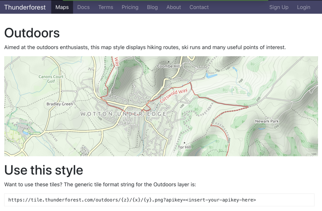
To add the Thunderforest Outdoors Basemap, we simply enter the style URL provided:
https://tile.thunderforest.com/outdoors/{z}/{x}/{y}.png?apikey=<insert-your-apikey-here>The attribution field allows you to comply with the provider terms and conditions. In the case of Thunderforest, a link to both Thunderforest and OpenStreetMap is required:
Maps © <a href="http://www.thunderforest.com">Thunderforest</a>, Data © <a href="http://www.openstreetmap.org/copyright">OpenStreetMap contributors</a>Pro Tip! The first Basemap listed will be used by default, unless you specify a different one using the Shortcode.
Examples
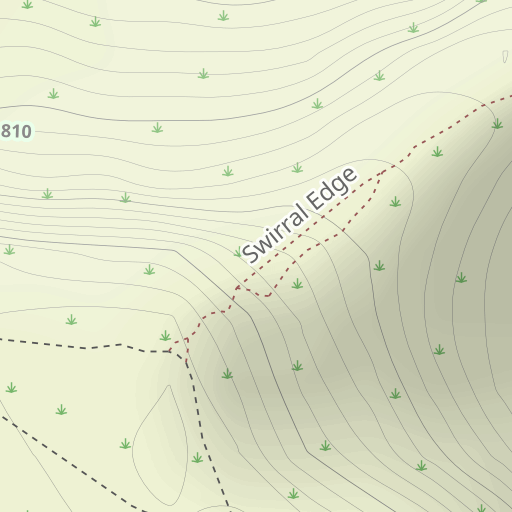
This Map uses Thunderforest Outdoors as the Basemap:
Waymark basemap="Outdoors" map_centre="54.526814,-3.017289" map_zoom="16"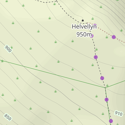
This Map uses Mapbox Satellite as the Basemap:
Waymark basemap="Satellite" map_centre="54.526814,-3.017289" map_zoom="16" The Basemap URL entered in Settings is:
https://api.mapbox.com/v4/mapbox.satellite/{z}/{x}/{y}@2x.jpg90?access_token=[your_api_key]View the Mapbox Docs for more information on using Raster Tiles.

