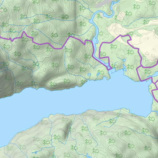
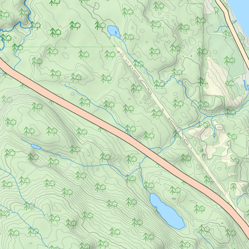
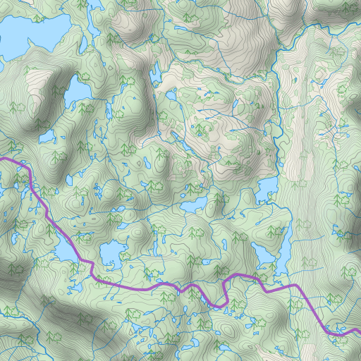
The Track displayed in this Map has elevation data associated with it, clicking on it will display an interactive elevation graph (thanks to Leaflet Elevation).
The tracks uploaded to Waymark must already contain elevation data embedded within it, as Waymark does not look up elevations.
Impossibly high or low (i.e. "-99999m") minimum/maximum elevations will cause crazy graphs and are caused by bad data associated with your track, not a problem with Waymark.